We recently returned home from our cross-country road trip. While a large part of the trip involved visits to several National Parks, the second half presented a unique opportunity. Our route afforded a journey to the center of the USA. Or more accurately, both of them. How’s that possible? It depends on how you define “center”. And it’s the source of a food fight of sorts between two states.
Where Is the Center of the USA, Anyway?
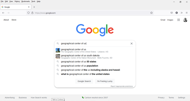
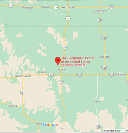
It seems like a simple question, but there are, in fact, competing answers. Search for “geographic center of the us” on Google, and you actually get two results:
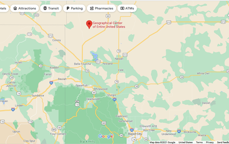
The first result probably makes sense to most people. When you think of the geographic center of the USA, Kansas naturally comes to mind. But the second result brings up – South Dakota? Of course, the the 3rd and 5th results give the game away. It depends on whether you’re talking about the 48 contiguous states, or if you include Alaska and Hawai’i.
When the US Coast and Geodetic Survey first pegged the center of the country in 1918, Lebanon, Kansas marked the spot. But some 40 years later, after the admittance of Alaska and Hawai’i, the re-determined center landed in South Dakota. (The present-day USGS doesn’t actually endorse a specific center of the nation; in fact, the technical discussion linked above specifies that the measurements aren’t exact. Also, because of shifting shorelines, both centers migrate over time.) Our giant circle route brought us within spitting distance of both. And coincidentally, shortly before July 4th, making for a perfect occasion to visit.
Journey to the Center of the USA – All 50 States
After visiting Yellowstone, we headed east to the Dakotas for a few days in the Rapid City area. That brought us first to the geographic center of all 50 states. The journey to the center of the USA – the “Middle of It All“, you might say – takes you not that far from Rapid City.
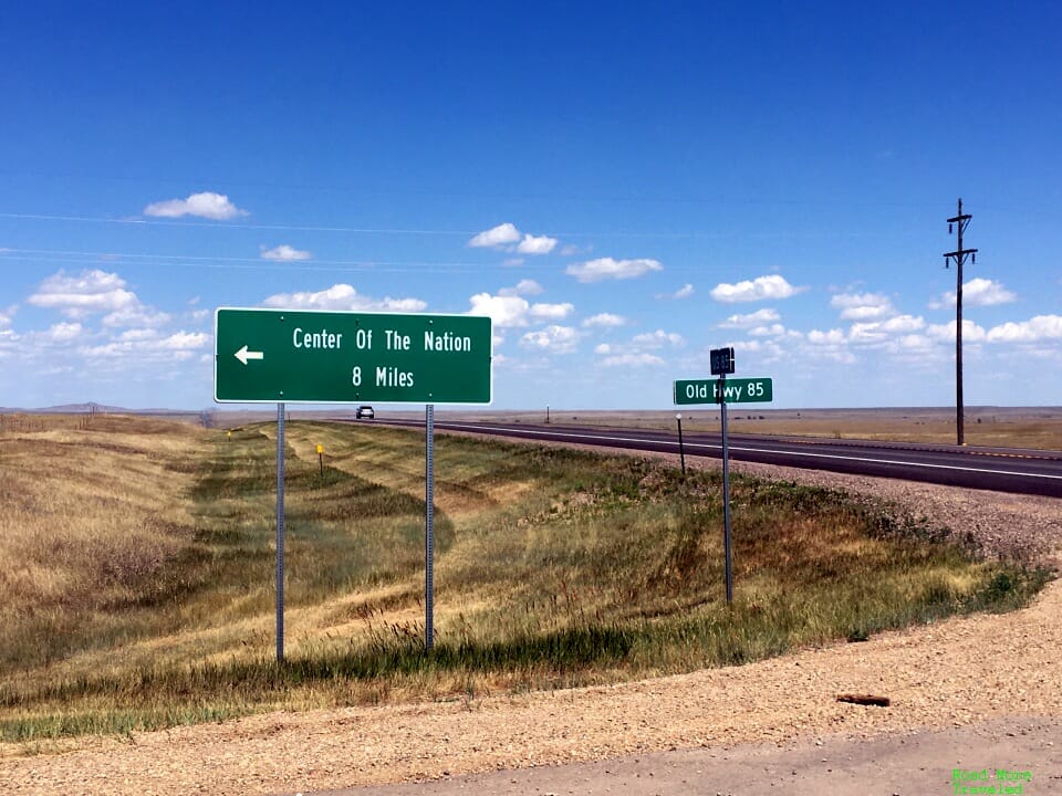
However, it’s not the easiest place to get to. The first part is easy – travel 55 miles to Belle Fourche via I-90 and State Highway 34. From there, head another 14 miles north on US Highway 85. You’ll see a turnoff for Old Hwy 85, and a sign to the “Center of the Nation”.
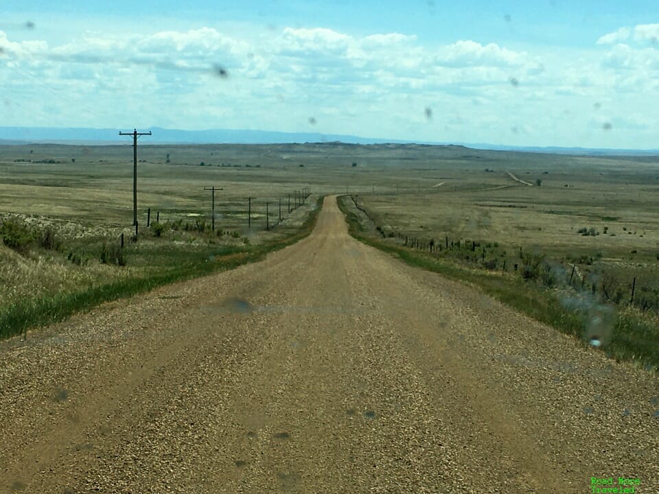
From here, it’s 7.8 miles on a dusty, graded dirt road. The total drive from Rapid City takes about an hour and 20 minutes.
Though the first 1/2 mile is in rough shape, the remainder is passable, at least when dry. Our 24-foot motorhome from Zervs.com handled the road fine; however, I’d think twice about coming up here during or after a rain. Your vehicle will likely look like ours after a trip up the Dalton Highway on a rainy day. Otherwise, keep your speed to 40 mph or less, and slow down and pull to the side when passing oncoming vehicles to save your windshield from kicked up rocks.
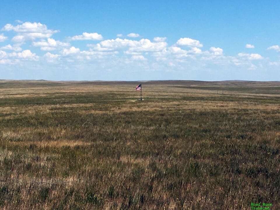
I traveled here once before, on Independence Day, 2005. Then, the site was completely unmarked. You could see a small pole in the field from the road, but you couldn’t actually visit the center.
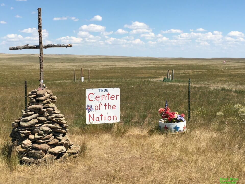
Today, you can actually walk up to the center, but it’s otherwise not much better developed. At the site, you’ll find little more than a small pullout next to a red gate. There’s also a cross and a small sign welcoming you to the “True Center of the Nation”. Naturally, just a bit of shade thrown at the other center in Kansas, since it’s not the “true” one.
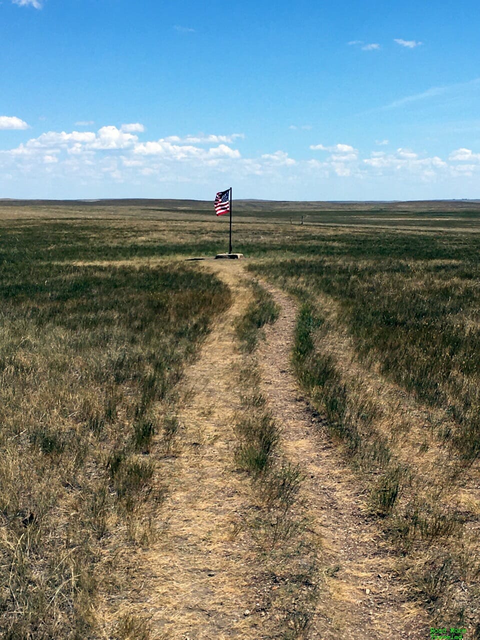
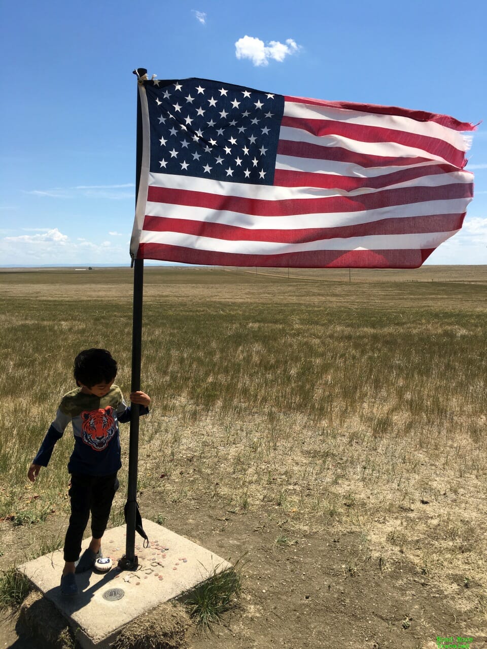
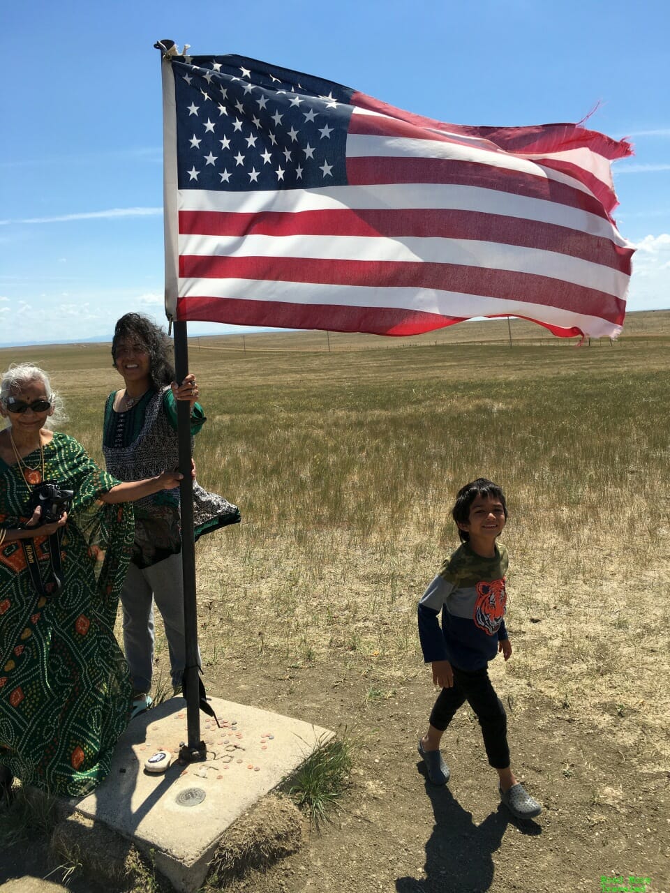
To reach the center, just unlock the gate and walk down the short path. (Just make sure to lock the gate behind you, and again when you leave.) A large American flag now marks the spot of the geographic center.
My son loves flags, so he couldn’t resist posing with this big one.
The entire family then took a quick photo with Old Glory.
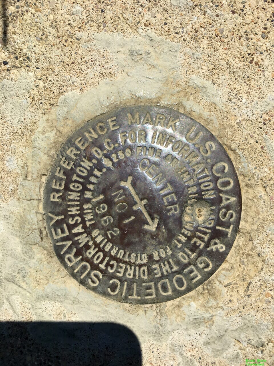
At the base of the flag is a small marker designating this point the center of the nation.
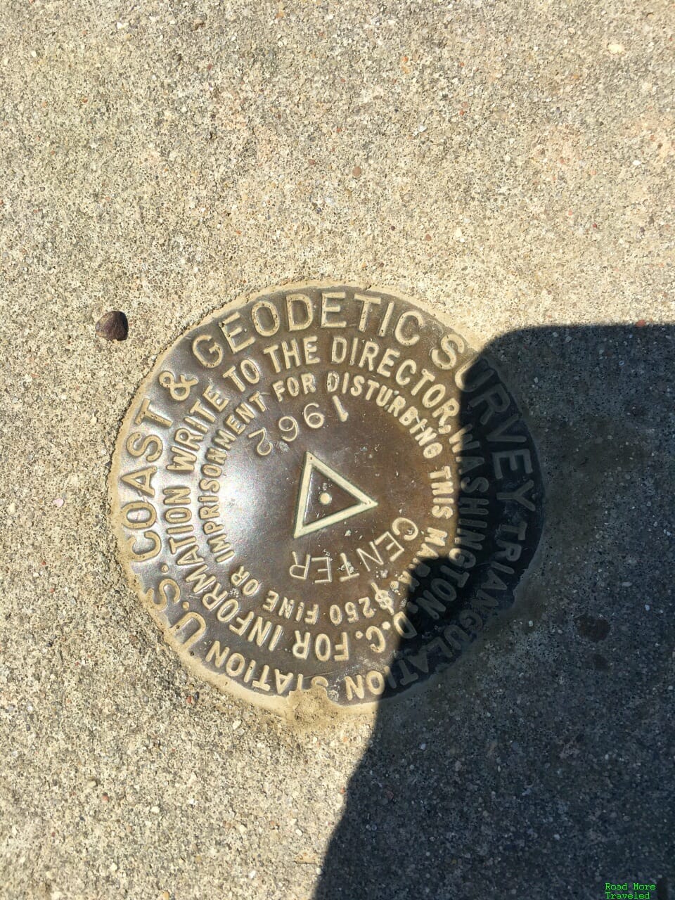
Meanwhile, a few feet to the left of the flag is another reference marker; I’m not sure what the difference is between the two.
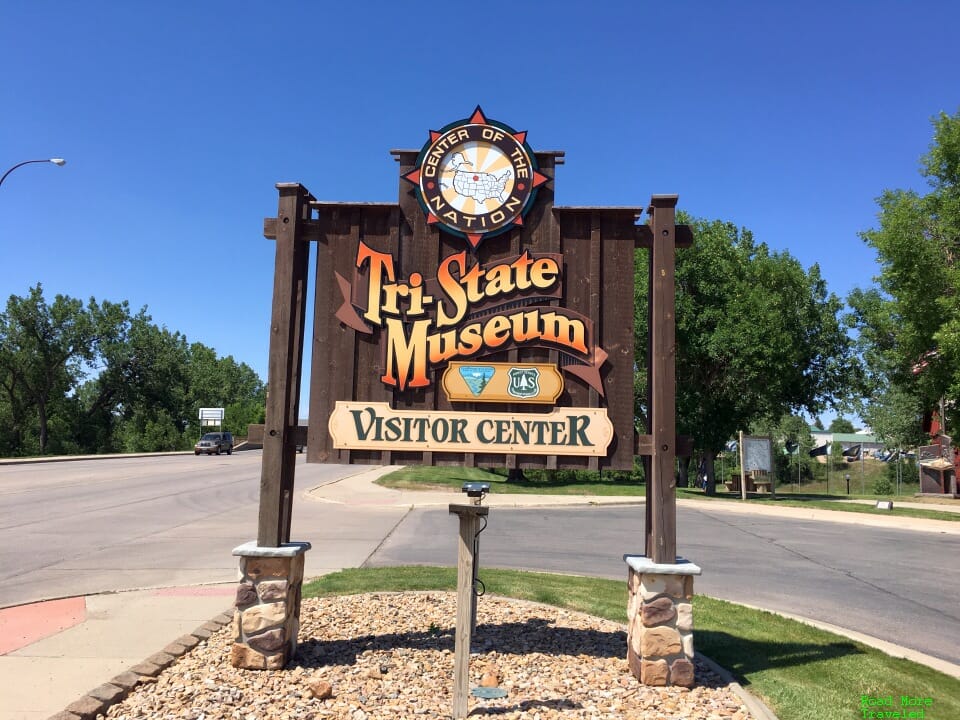
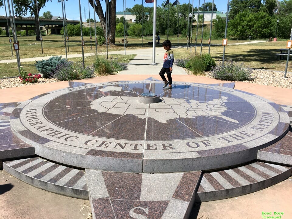
Back in Belle Fourche, you can stop at the “official” center of the nation monument at the Tri-State Museum.
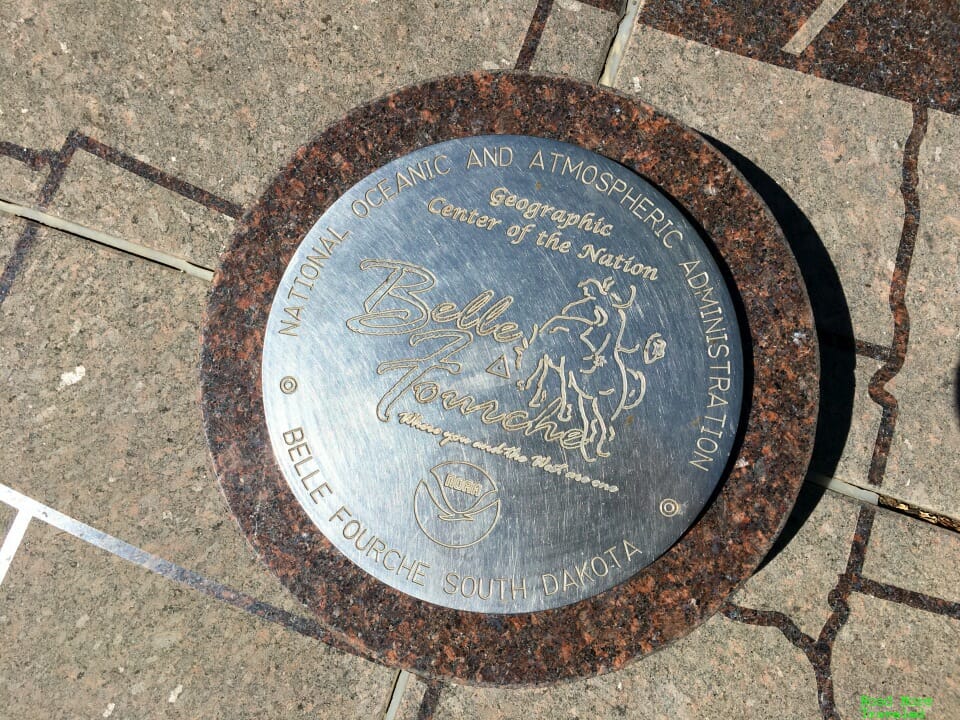
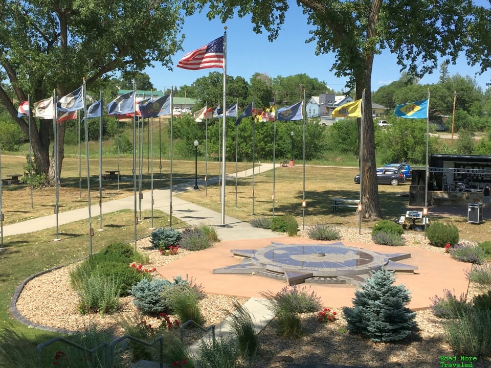
Completed in 2007, the monument features a large compass rose with a commemorative plaque over southwestern South Dakota marking the center.
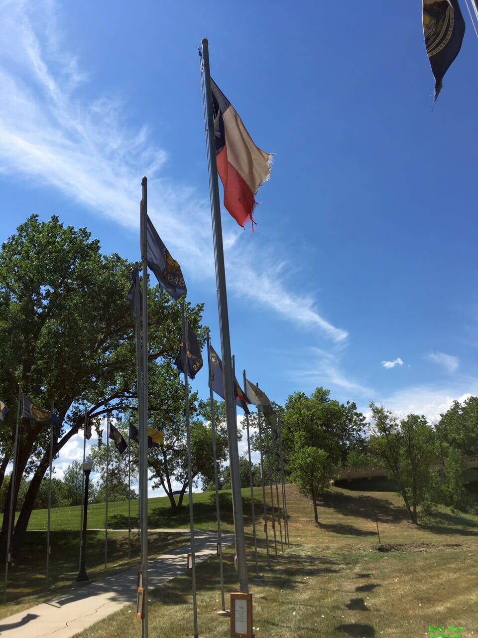
An American flag and all 50 state flags fly over the monument. I’m not sure of the logic used in the placement of the flags, though; unlike at Mount Rushmore, they’re not in alphabetical order. Nor did they seem placed in order of admittance to the Union.
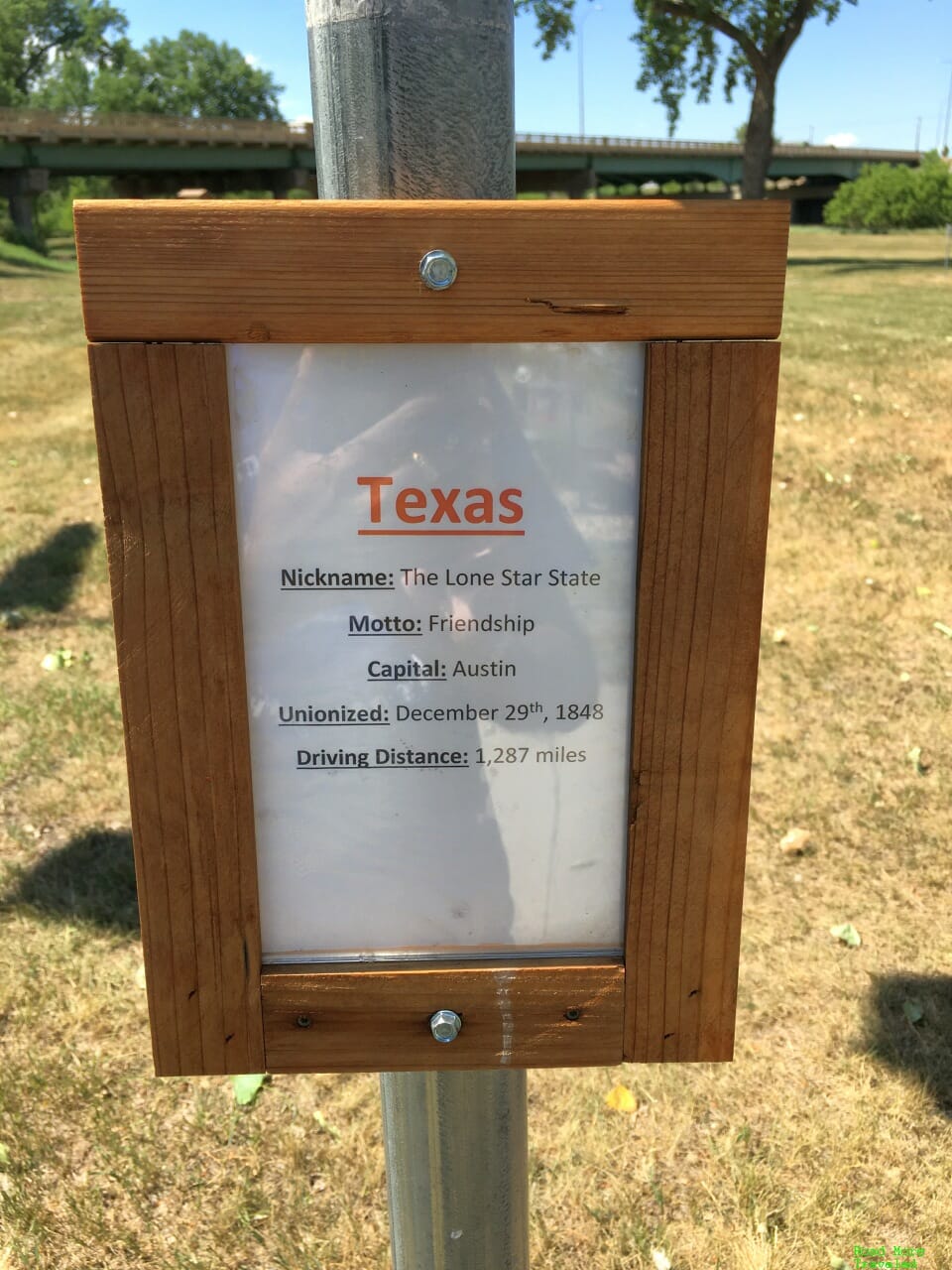
Naturally, I had to seek out the Texas flag. Each state’s flag includes a card showing some state facts, including the date admitted to the Union, the capital city, and driving distance from Belle Fourche.
The driving distance to Austin is remarkably accurate. A quick Google Maps check showed the shortest route from downtown Austin to downtown Belle Fourche is – 1,287 miles. There’s a glaring typo in the date admitted, though. It’s actually December 29, 1845, not 1848.
Anyway, admission to the memorial and museum is free. There are some historical exhibits about the area inside; if you have young kids, they’ll probably enjoy the “archaeological dig” exhibit with a small sandbox where you can pretend to dig for artifacts. There’s also a small gift shop with some center of the nation swag.
So why is the “official” monument some 20 miles away from the real center of the nation? Apparently, while the landowner doesn’t mind people coming by to look, he didn’t want the traffic that a full development might bring. And let’s face it, there’s few crazy people willing to drive a dusty dirt road to get there. I saw one other person while there, and other driving up as we left. But if you’re willing to head out to the windswept prairie 20 miles north of Belle Fourche, South Dakota, you too can take your picture in front of a big a** American flag that marks the spot.
Journey to the Center of the USA – The Lower 48
Leaving South Dakota, the last stretch of our road trip took us south through Nebraska and Kansas. When I put our routing together, I noticed my initial draft took us within a few miles of the geographic center of the Lower 48. On the day before Independence Day, no less. So naturally, I just had to alter our routing just a little. After all, what road trip fanatic would pass up a journey to the center of the USA – both of them – on the same trip?
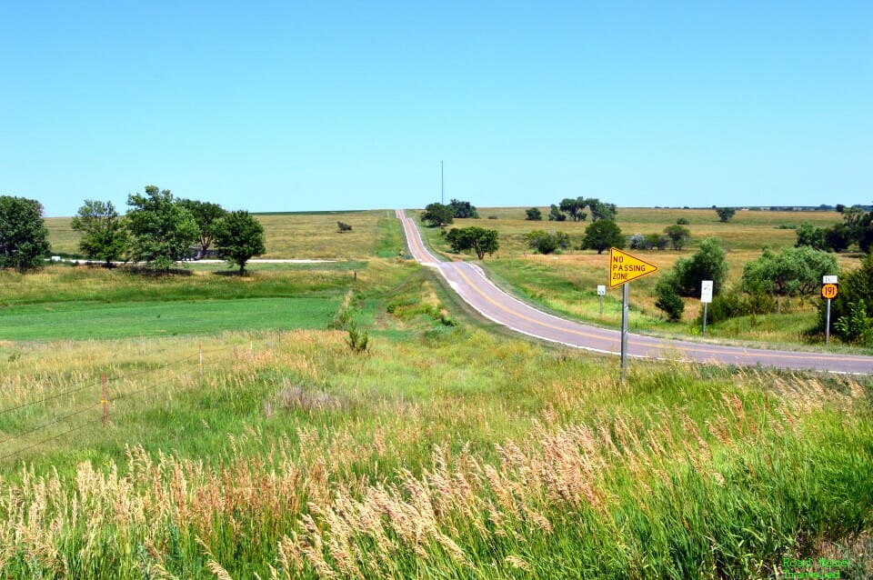
The second center is just north of Lebanon, Kansas, near the Nebraska state line. Unlike the center of all 50 states, this one’s considerably easier to get to. It’s just a mile off US Highway 281, a major north-south highway.
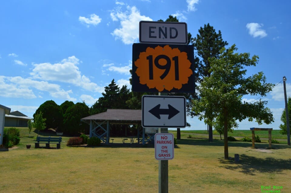
Just head to the end of State Highway 191, and you’re there.
Arguably, though, it’s in an even more isolated location. The nearest major cities on the interstates are Salina, Kansas, 110 miles southeast along I-70; and Grand Island, Nebraska, 90 miles north along I-80. So yes, it takes a little effort to get here. Also like its South Dakota cousin, it’s in the middle of a windswept prairie.
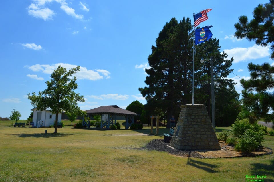
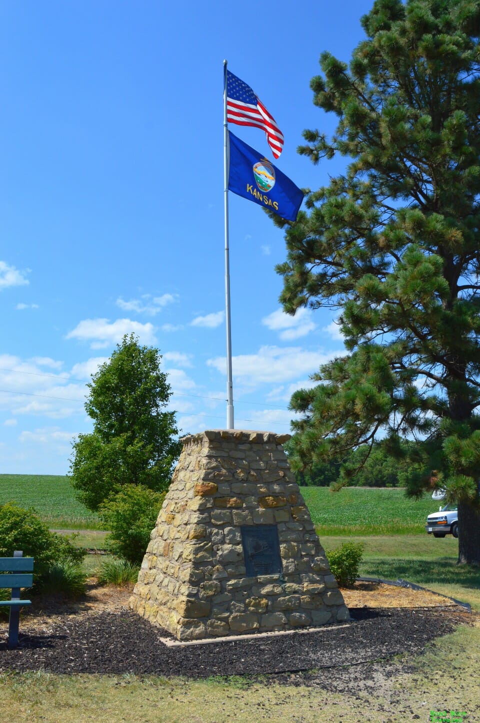
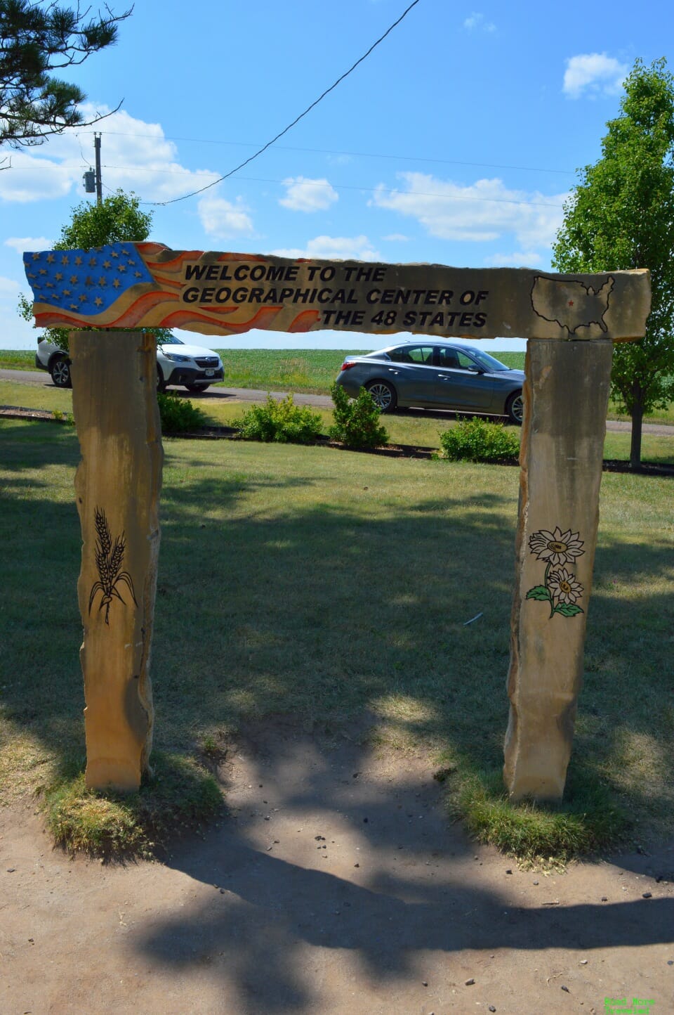
Unlike the South Dakota center, this one has a small memorial directly onsite. Well, sort of. The actual center is about half a mile away on private farmland. But in the grand scheme of things, I guess that’s close enough. Anyway, site features a small park with a stone monument, a couple of signs, and the “US Center Chapel”.
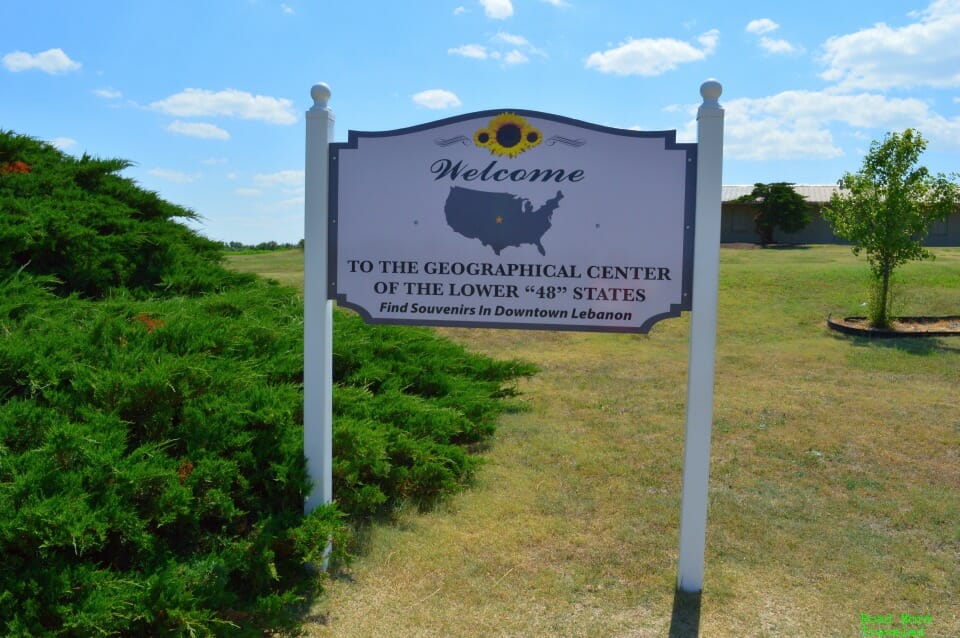
There’s also a reminder to head to town for souvenirs.
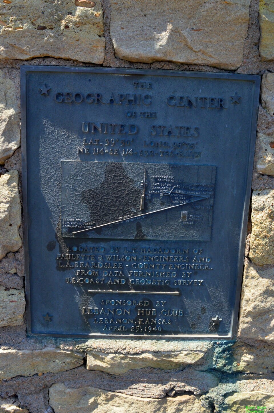
As the plaque indicates, though the US Coast and Geodetic Survey calculated the center’s location in 1918, the actual monument dates to 1940.
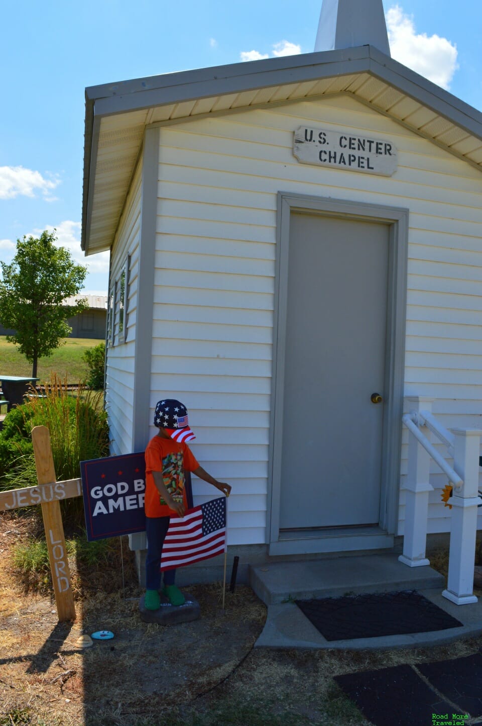
The “US Center Chapel” is probably the most noteworthy item here. It’s actually not the original; a speeding car destroyed it in 2008. The residents of Lebanon rebuilt it after that accident. If it looks tiny, that’s because it is. The chapel has a capacity of a total of 6 people. However, it’s actually a quasi-popular chapel for weddings given the unique location.
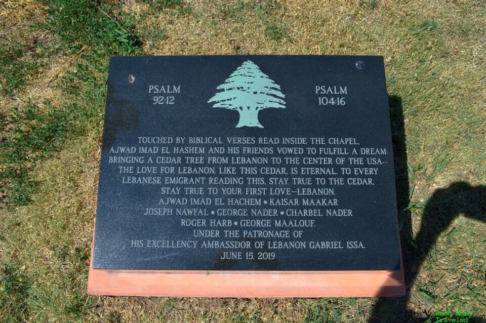
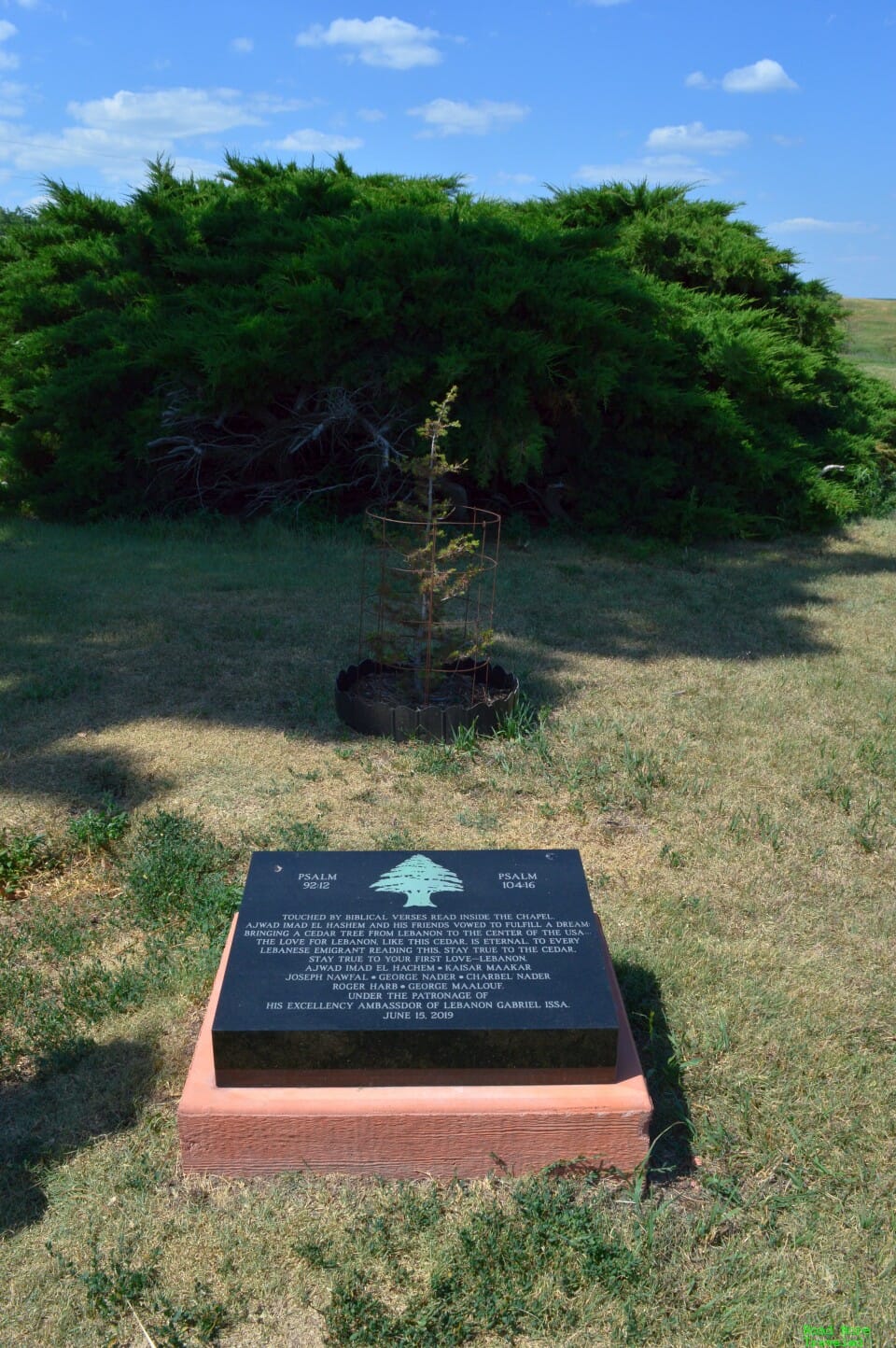
Interestingly, the site receives a fair number of visitors from Lebanon (the country). The Lebanese ambassador to the US dedicated a plaque and planted a cedar tree here in 2019.
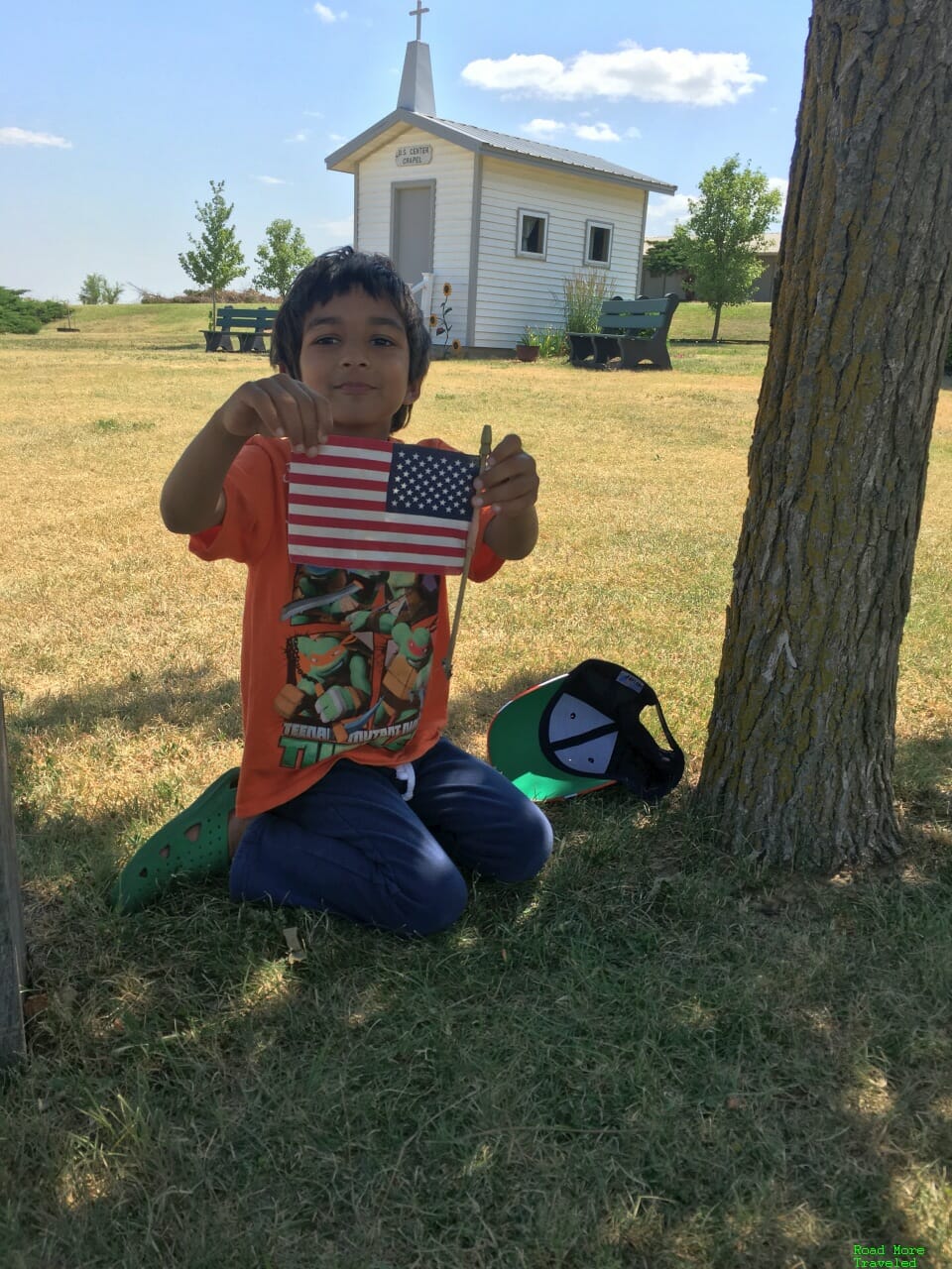
Someone stuck a small American flag under a tree, which of course my son couldn’t resist posing with.
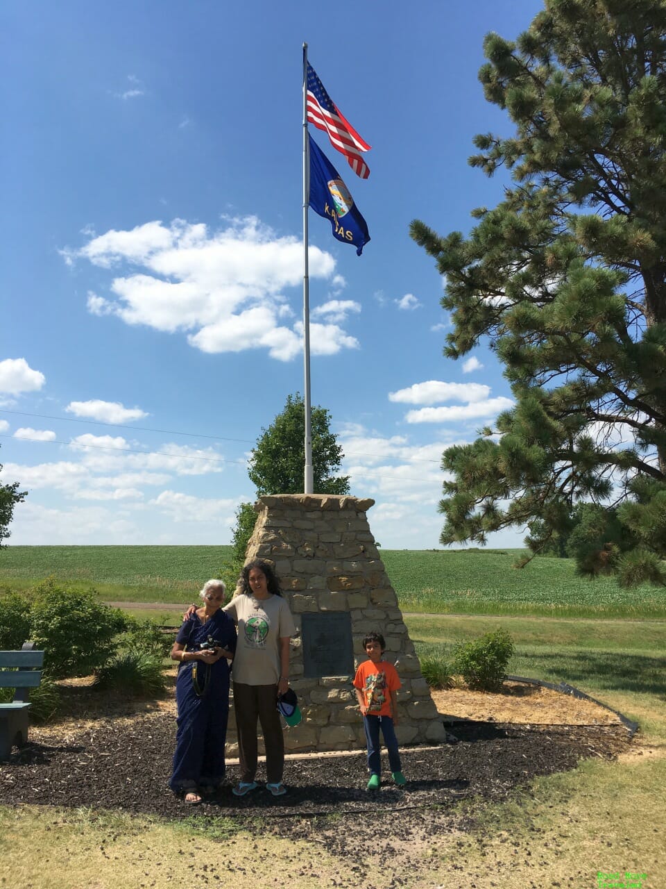
Finally, we took a quick family photo before hitting the road again.
I mentioned the food fight between Kansas and South Dakota as to which center is the real one. Well, Kansas might lose on the geography part, but they milk the whole “center of it all” thing pretty good. The Lebanon center has earned several pop culture references, including Bruce Springsteen’s Jeep ad in Super Bowl LV.
And so there you have it – a journey to the center of the USA, twice on the same trip.

